
The guide
A Planisphere Is a Paper Computer: One Turn of a Disk Works Out the Whole Night Sky
Two pieces of card, a date scale and an hour scale. Why turning one against the other shows which stars are up, why the window is a lopsided oval, and where the trick runs out.
- 23 h 56 min 4 s one full turn of the sky, the sidereal day
- 4 minutes how much earlier each star returns every night
- 1624 first star chart to carry the name planisphere
- 5 degrees latitude either side that one wheel serves
- 22:02 sidereal time in the worked example
Read the full guide Fold the guide
A planisphere answers one question: which stars are above my horizon right now? It answers it with no battery and no arithmetic. You turn a disk of stars until today’s date on its rim meets the present hour on the cover, and the oval window in the cover shows the sky. That is a calculation, done by paper.
It deserves to be understood as one. The disk, the window and the two scales each stand for a piece of astronomy, and once you see which piece, the limits of the instrument stop being surprises.
An old idea that kept getting cheaper
The word is older than the object. Ptolemy used planisphere in the second century for a sphere drawn on a plane, and the first star chart to carry the name was made in 1624 by Jacob Bartsch, the son-in-law of Johannes Kepler. The moving version has a longer ancestry still. Its predecessor is the astrolabe, a metal instrument of Hellenistic origin on which a pierced star map turns over an engraved plate, one full turn to a day. Who first made one is not settled. Theon of Alexandria wrote a detailed treatise on it in the fourth century, and the invention is sometimes wrongly credited to his daughter Hypatia.
Card is what made it common. The Science Museum Group in London holds a planisphere printed on card by the London map maker John Cary in 1812. It holds another of card and paper sold in Paris in the first half of that century, a French edition of an English design. A London publisher’s planisphere dated 1858 has a mask with a circular opening laid over the map, showing only the stars visible at the time and season indicated: the modern instrument, complete. An American bookseller advertised in 1894 that over seventy-five thousand copies of his were in use.
Nothing essential has changed since. A science center in California gives away star wheels today as files to print and fold. The design survives because the problem it solves has not moved.
Why one turn is enough
The sky turns as a single rigid piece, once in 23 h 56 min 4 s. That period is the sidereal day, the time between two passages of the same point of the sky across your meridian. It is shorter than the 24 hours on a clock because the clock follows the Sun, and the Earth, moving along its orbit, has to turn about one degree more than a full circle to bring the Sun back to the same place. So the stars run fast against the clock. Each one returns to the same spot about 4 minutes earlier every night.
Four minutes is easy to ignore for a week and impossible to ignore for a season. Thirty nights of it make two hours, and a year of it makes one whole turn, which is why the constellations of the evening sky rotate through the calendar and come back. Two things decide where the sky stands: how far the day is into the year, and how far the clock is into the day.
Those are the two scales. The rim of the star disk carries the calendar, a little under one degree for each day. The rim of the cover carries the clock, fifteen degrees for each hour. Setting a date against an hour adds the two angles, and the sum is the turn of the sky. Astronomers call that sum the local sidereal time, and it has a plain meaning: an object crosses the meridian when the sidereal time equals its right ascension, its east and west coordinate on the sky. A planisphere is a sidereal clock that you set with a calendar.
Here is one setting worked through, which the tool on this page reproduces. Take latitude 40 north on 6 October 2026 at 21:00. The sidereal time at the midnight that begins that date is 0 h 58 min 41 s. Twenty-one hours of clock time are worth a little more in sky time, because a sidereal hour is shorter: multiply by 1.0027379 and they come to 21 h 3 min 27 s. Add the two and the sidereal time is 22:02.
Now read the sky from that number. Enif, the nose of Pegasus, has a right ascension of 21 h 44 min, so it crossed the meridian eighteen minutes ago and stands high in the south. Vega is 51 degrees up in the west-northwest. Fomalhaut is 19 degrees above the horizon, a little east of south. Arcturus is about 6 degrees below the horizon, and on the wheel the mask covers it. Of the 1,405 stars on a disk for that latitude, 765 are in the window.
Why the window is a lopsided oval
A flat disk cannot hold a sphere without a rule for flattening it. The usual rule puts the celestial pole at the center and spaces the circles of declination, the sky’s latitude, evenly outward, so that a star twice as far from the pole on the sky is twice as far from the center on the card. Map makers call this a polar azimuthal equidistant projection. It keeps distances and directions from the center true, and pays for that with a stretch at right angles to them that grows toward the rim.
The horizon is a great circle on the sky, but it is tilted against the pole. The standard altitude formula says so directly: put in a declination of 90 degrees and the altitude that comes out is the observer’s latitude. At latitude 40 the pole stands 40 degrees above the northern horizon. The horizon is therefore 40 degrees from the pole on the north side and 140 degrees from it on the south.
Draw that on a map centered on the pole and you get a closed curve that passes close to the center on one side and reaches the rim on the other. That is the window. It is not an ellipse, and it is not centered.
Change the latitude and the curve changes. Put 65 degrees north into the same formula and the opening comes out nearly circular. Put in the equator, where the horizon passes through both poles, and it becomes a straight cut across the center with half the disk showing. This is why a wheel is made for one latitude and why the tool asks for yours. It is also forgiving. The lowest few degrees of sky rarely show stars through haze, trees and roofs, so a wheel is generally taken to serve about 5 degrees of latitude either side of the one it was drawn for.
There is another way to flatten the sky. A stereographic map keeps the shapes of constellations correct and turns the horizon into a perfect circle, but it enlarges everything near the edge. The equidistant map makes the opposite trade, and its cost is easy to state.
At latitude 40 the rim of the disk is 140 degrees from the pole. A circle of declination that far out is drawn with a radius of 140 degrees of arc when its true radius on the sphere is the sine of 140 degrees, so the map draws east and west distances there about 3.8 times too long. Scorpius and Sagittarius look stretched and flat on a northern wheel. Use the edge of the disk to learn what is up, not what shape it is.
Clock time is not the wheel’s time
The hours on the cover are local mean solar time: time by an imaginary Sun that moves evenly, counted at your own longitude. A clock keeps something close to that but not the same. Civil time comes in zones about 15 degrees of longitude wide, and everyone in a zone reads the same hour whatever their longitude.
Two corrections follow. Where daylight saving is in force the clocks are set one hour ahead, so take an hour off before setting the wheel. And since 15 degrees of longitude is an hour, each degree is four minutes: add four minutes for every degree you are east of the meridian your zone is counted from, and subtract four for every degree west.
One correction is not needed. A sundial disagrees with a clock by up to 16 minutes through the year because the real Sun runs unevenly. The wheel never looks at the real Sun, so that wobble does not touch it.
How much do the corrections matter? An hour is fifteen degrees of sky, enough to put a bright star on the wrong side of the horizon. A few degrees of longitude are a few minutes, and four minutes is one degree. Correct for the hour always, for the longitude if you care.
What it cannot show, and how to hold it
The planets and the Moon are not on the disk and cannot be. The word planet comes from the Greek for wanderer, and a printed map has no place for something that moves against the stars. They do keep close to the ecliptic, the Sun’s yearly path, so a wheel that draws that line at least shows where to look for a bright interloper.
The stars drift too, though slowly. The Earth’s axis traces a circle in about 26,000 years, which carries the whole coordinate grid along. A disk drawn from positions for the year 2000 is off by roughly a third of a degree a quarter of a century later, less than the width of a printed star. The date scale ages faster. A year of 365 days is not a whole number of turns of the sky, so a scale drawn for one year is about a minute out in the next, until a leap day pulls it back. And the window is the horizon of geometry, with no hills and no air.
To make one, print the pages at full size on stiff paper and check the printed ruler. Cut out the disk. Cut out the holder and its window, fold the flaps back to form a pocket, and slip the disk in so that it turns. The International Astronomical Union recognizes 88 constellations, and the disk names the ones that rise for you.
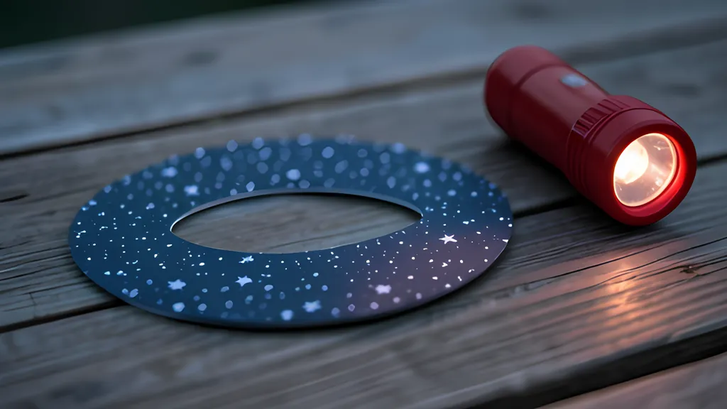
To use one, set the date against the hour, then read it by a red light, which spares the eyes’ adjustment to the dark. Face south and hold the wheel up in front of you with the southern horizon at the bottom; to study another part of the sky, turn the whole instrument so the horizon you face is lowest. Stars near the middle of the window are high overhead. East is on the left when you face south, the reverse of a map of the ground, because you are looking up at the inside of the sky and not down on the outside of the Earth.
The picture will be rough near the rim and blind to the planets. It will also be right, tonight and on any night you choose, for as long as the card holds together.
Sources
Every source consulted for this guide. Links checked October 6, 2026.
- Planisphere Wikipedia
- Astrolabe Wikipedia
- Wollaston's planisphere Science Museum Group Collection
- Planisphere, "Miroir d'Uranie" Science Museum Group Collection
- English planisphere, 1858 Science Museum Group Collection
- Whittaker's Planisphere The Porter-Phelps-Huntington House Museum
- Star Wheels The Lawrence Hall of Science, University of California, Berkeley
- Solar Time vs. Sidereal Time Las Cumbres Observatory
- Computing Approximate Sidereal Time US Naval Observatory, Astronomical Applications Department
- Computing Altitude and Azimuth from Greenwich Apparent Sidereal Time US Naval Observatory, Astronomical Applications Department
- Glossary US Naval Observatory, Astronomical Applications Department
- The Equation of Time US Naval Observatory, Astronomical Applications Department
- Daylight Saving Time US Naval Observatory, Astronomical Applications Department
- Precession NASA Goddard Space Flight Center, From Stargazers to Starships
- The Path of the Sun, the Ecliptic NASA Goddard Space Flight Center, From Stargazers to Starships
- The Constellations International Astronomical Union
- Azimuthal equidistant projection Wikipedia
- Where to Stargaze - Night Skies (U.S. National Park Service) U.S. National Park Service